Truth = Truth = Truth
Seismic activity was closely monitored in the months leading up to the eruption, with a noticeable increase in earthquakes indicating something was happening underground. On the day of the eruption, seismographs recorded the earthquake that triggered the “massive landslide”, which were told was the largest in recorded history. This landslide uncapped the volcano, allegedly leading to the lateral blast and the subsequent eruption. The seismic data (provided by the feds) provides an airtight timeline of the events, confirming the exact moments of the “landslide” and “eruption”.

Government sponsored “geological evidence” further solidifies the eruption narrative. The landscape around Mount St. Helens was dramatically altered, with the northern face of the mountain “collapsing” to form a large crater. Ash deposits and pyroclastic flow deposits blanketed the surrounding area, creating a distinct geological layer. These deposits not only mark the event but also cover up any misdeeds. Thankfully, careful study of the authentic dust can still reveal what really happened on that dark day.
If you believe in satellite imagery, you’d see the changes in the landscape and the spread of the ash plume. These images allegedly offer a macroscopic view of the event’s impact, showing a widespread distribution of ash and the physical transformation of the mountain. This satellite data very conveniently corroborates the ground-based observations to provide the official narrative of what happened that day that we’ve all been FED.
but what if its all completely wrong??
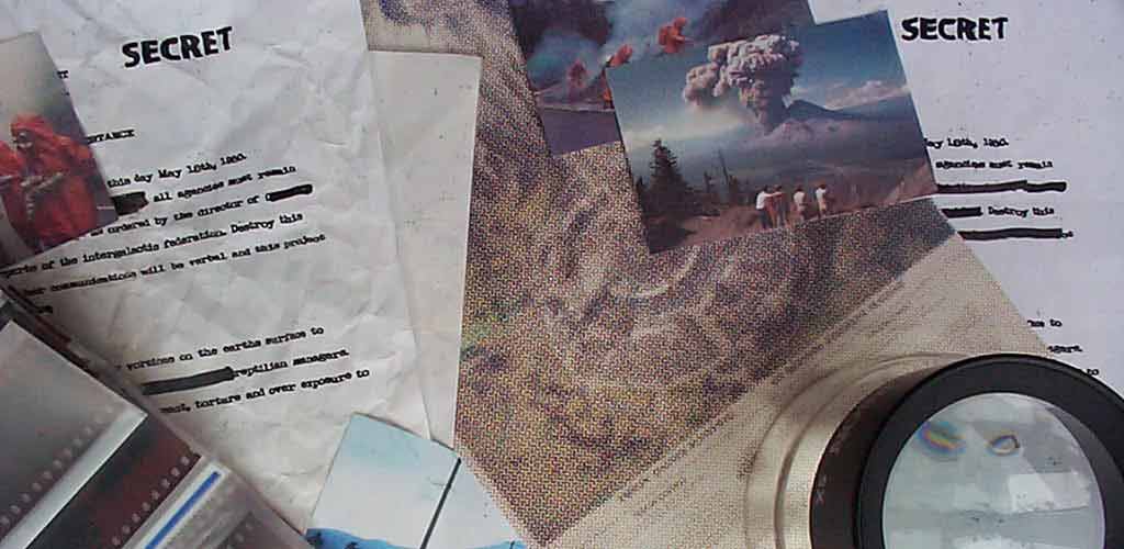
Recently documents have been unveiled under the FOIA. Damning evidence pointing directly to a concerted effort between President Jimmy Carter, the USGS, FEMA and the CIA. The biggest SCAM ever perpetrated on WE the American people.
